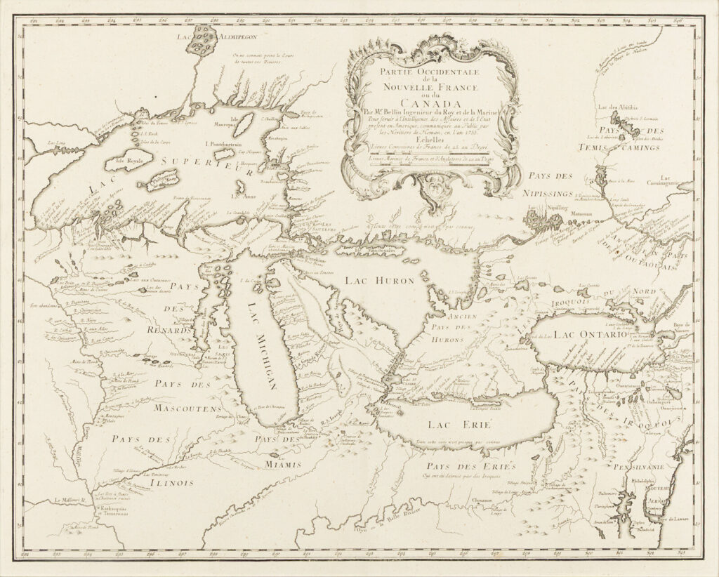
Engraved map, 533 x 610 mm (21 x 24 in.). Decorative cartouche. (Laid town on tissue, hinged to mat.)
Issued on the eve of the French & Indian War, this map depicts the French territory and includes 4 fictitious islands in Lake Superior, and was closely copied from Bellin’s 1745 map of the region. Kershaw 950; Schwartz & Ehrenberg plt. 97; Sellers & Van Ee 19.
Property from the Estate of James G. Hansen at Fetcher House, Winnetka, Illinois